 Chinese
 German
 Spanish
 Japanese
 Korean

GNSS has played a pivotal role in positioning and continues to be critical for many modern mapping and navigation applications. But these applications are becoming more demanding. Engineers are asking questions that GNSS wasn’t built to answer. At least, not to answer alone.
This article explains why engineers are looking beyond GNSS for more resilient positioning for automotive testing, mapping, and autonomous system development, to technologies like real-time sensor fusion.
Raising the bar for positioning
From the use of the Doppler effect to track Sputnik in the 1950s to the US Navy Transit Program, from GPS to GLONASS, Galileo, BeiDou, and countless others, the GNSS story is a fascinating tale of engineering achievement. Today, GNSS positioning technology is ubiquitous across navigation, surveying, autonomous systems, automotive testing, and many other areas. Its track record is one of global coverage, strong accuracy in open environments (especially with RTK or PPP corrections), low deployment costs, and decades of proven reliability. For many years, we’ve asked the question: Where am I? And GNSS has had the answer.
But those working with GNSS will know that relying solely on GNSS, or even on GNSS and inertial measurements from an IMU, is no longer enough to meet the needs of clients and stakeholders.
What’s changed? The question hasn’t. But the places we are asking it have. Users are used to accurate position data in open skies; now they want it in cities. Engineers want to measure indoors as well as outdoors, underground as well as above ground. Position accuracy is essential for autonomy and safety as well as convenience, in every environment. All the environments where people used to accept that position data was unobtainable, are now in the spotlight as the bar for positioning is raised and professionals and consumers alike start to reject those historic limitations of where position data could be reliably gathered.
It’s estimated that there are now almost 15,000 satellites orbiting the Earth. But as we know, this doesn’t make GNSS coverage infallible. The most demanding positioning applications rarely take place under perfect open skies. GNSS coverage is impacted in certain environments – indoors, urban areas, or in tunnels, for example. Multipath errors (reflections off buildings and so on) can corrupt signal, degrading the integrity of the position data. Consider also challenging weather conditions, or harmful acts such as spoofing or jamming, all of which can cause GNSS outages.
GNSS has solved yesterday’s problems. The problems of today and tomorrow – like how to navigate in GNSS-denied environments – require something else.
Long live continuous localisation
All of that being said, reliable positioning without GNSS is not the ultimate goal. The ultimate goal is being able to do that, but also transition between environments without a drop in coverage or accuracy.
Consider trying to track a Formula 1 driver as they move around the track. You’d want to gather data continuously even when moving between open sky conditions and through bridges or tunnels where GNSS isn’t effective, but you would also need ultimate confidence in that data to inform critical decision making further down the line.
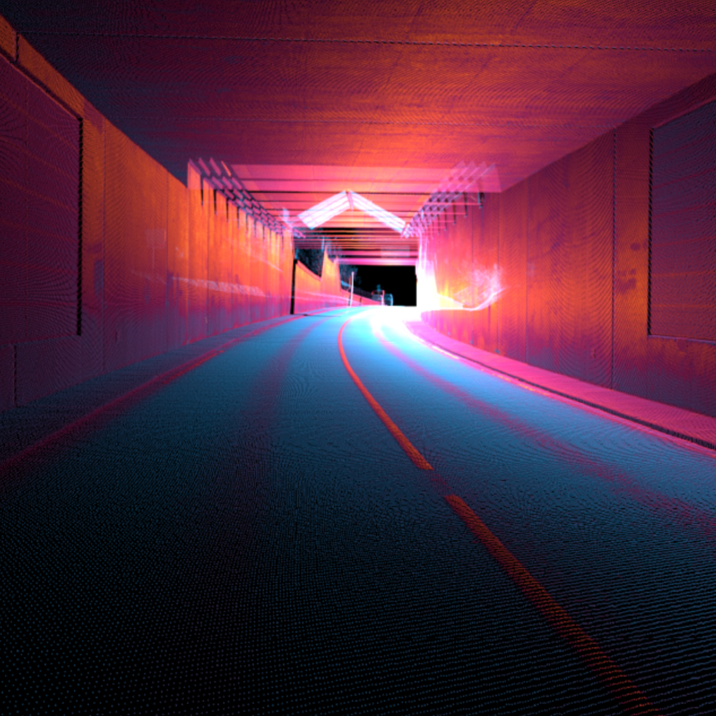
Imagine a more practical example: a survey vehicle collecting data for a digital twin of a city. It starts in open countryside, enters dense urban streets lined with tall buildings, drives beneath railway bridges, passes through a tunnel, and eventually into a covered loading bay. Each transition challenges GNSS in a different way. The vehicle doesn’t have time to stop and switch localisation technologies when GNSS is blocked or disrupted; the switch over needs to be seamless both in practical terms and in the resulting dataset.
In the past, an engineer may have been happy with positioning that just worked outdoors, resulting in data that was accurate most of the time. But as we have said, operational expectations have shifted and users want positioning everywhere. Automotive testing is increasingly focused on real-world data collection to produce safer vehicles, especially for autonomous vehicle development. Engineers expect vehicles to drive into tunnels, traverse cities, enter warehouses, pass under bridges, and move through forests – without ever losing confidence in location and data quality. Therefore dropouts are not an option.
This is why infrastructure-based solutions like UWB (ultra-wide band), whilst they have their place, aren’t suitable for continuous localisation. Even if you can switch seamlessly between UWB and GNSS (which not every solution can), the need for UWB anchors and tags means that it can only be used in an environment you control – not a city, for instance. As a result, engineers are more frequently looking to infrastructure-free solutions like LiDAR, INS (inertial navigation system), and vision-based solutions as an alternative to GNSS and a more elegant response to the continuity riddle, which doesn’t require the deployment and maintenance of anchors or beams.
Sensor fusion: moving from post-process to real time
One way that engineers are addressing GNSS limitations is through sensor fusion.
Sensor fusion is all about resilience. When one sensor degrades, others step in and cover the gap, and the system maintains a continuous, high-confidence position estimate.
Our LiDAR Boost technology, for instance, recognises environmental features in successive point clouds and measures how they change in order to estimate momentum. From a known starting point (the last known GNSS position, LiDAR Boost can provide highly accurate updates to position even when GNSS is not present at all. There are also vision-based localisation systems, which use cameras to the same effect.
Sensor fusion isn’t exactly new; it’s been deployed for years, but mainly in post-process. The challenge now is to make sensor fusion work in real-time.
A ‘Boost’ for continuous localisation
So, sensor fusion is becoming a standard practice rather than a premium feature. Systems are maturing from bespoke, integration-heavy setups into off-the-shelf deployable products. As technology matures, engineers can deploy these off-the-shelf systems without needing to build a localisation stack from scratch.
Two things play a critical role in real-time sensor fusion: software, and processing power. LiDAR Boost, which is used with the WayFinder family of products, is how OXTS is delivering GNSS-denied navigation. It is a unique algorithm that takes LiDAR data and turns it into odometry updates, in real time.
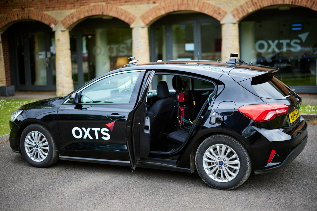
The WayFinder family of products make this possible in a number of ways: WayFinder Prime features fully integrated GNSS/INS and LiDAR, as well as on-board processing power that runs LiDAR Boost. WayFinder Hub contains LiDAR Boost and the onboard processing power to run it, while enabling you to connect your own OXTS GNSS/INS and LiDAR, providing excellent flexibility in your setup.
Currently, the WayFinder Family and LiDAR Boost are unique in the marketplace – nobody else is able to solve GNSS-denied localisation like we can. And WayFinder Prime is already having a huge impact for customers in survey and mapping and automotive testing, enabling them to test everywhere without complex setups or data processing workflows.
GNSS for more resilient positioning; what the future holds
GNSS remains foundational. It is a critical positioning technology, and far from obsolete. But applications are demanding more resilience than GNSS alone provides, and multi-sensor localisation is becoming the engineer’s default answer for complex environments.
The challenge for engineers is how to build real-time sensor fusion engines into their projects with minimal integration effort, while delivering maximum accuracy and reliability.
If you’d like to find out more about LiDAR Boost, the WayFinder Family, or how OXTS can help you solve complex GNSS positioning challenges, click below to get in touch.
Download the WayFinder Hub Datasheet
Learn more about WayFinder Hub, our multi-sensor fusion, GNSS-denied navigation system

